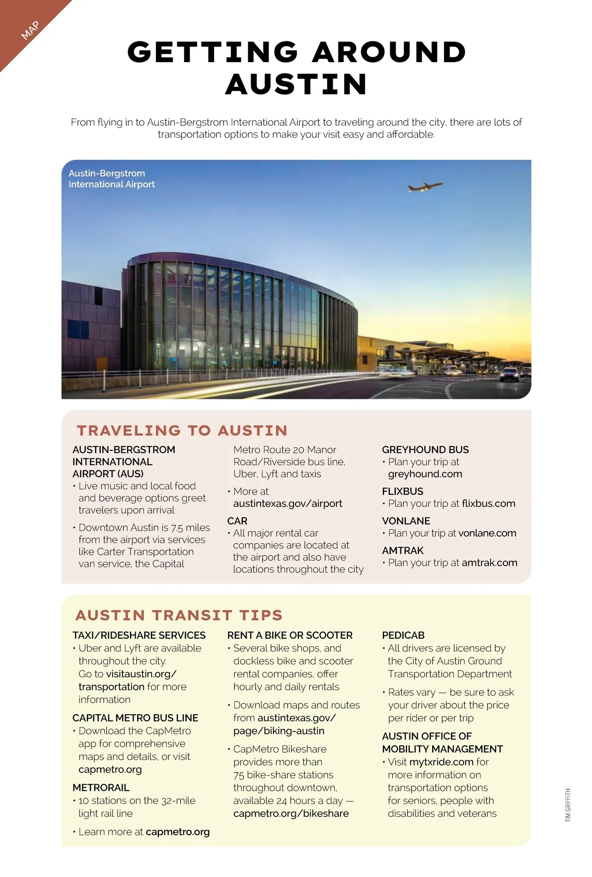
MAP GETTING AROUND AUSTIN From flying in to Austin-Bergstrom International Airport to traveling around the city, there are lots of transportation options to make your visit easy and affordable. Austin-Bergstrom International Airport TRAVELING TO AUSTIN AUSTIN-BERGSTROM INTERNATIONAL AIRPORT (AUS) • Live music and local food and beverage options greet travelers upon arrival • Downtown Austin is 7.5 miles from the airport via services like Carter Transportation van service, the Capital Metro Route 20 Manor Road/Riverside bus line, Uber, Lyft and taxis • More at austintexas.gov/airport CAR • All major rental car companies are located at the airport and also have locations throughout the city GREYHOUND BUS • Plan your trip at greyhound.com FLIXBUS • Plan your trip at flixbus.com VONLANE • Plan your trip at vonlane.com AMTRAK • Plan your trip at amtrak.com AUSTIN TRANSIT TIPS TAXI/RIDESHARE SERVICES • Uber and Lyft are available throughout the city. Go to visitaustin.org/ transportation for more information CAPITAL METRO BUS LINE • Download the CapMetro app for comprehensive maps and details, or visit capmetro.org METRORAIL • 10 stations on the 32-mile light rail line • Learn more at capmetro.org RENT A BIKE OR SCOOTER • Several bike shops, and dockless bike and scooter rental companies, offer hourly and daily rentals • Download maps and routes from austintexas.gov/ page/biking-austin • CapMetro Bikeshare provides more than 75 bike-share stations throughout downtown, available 24 hours a day — capmetro.org/bikeshare PEDICAB • All drivers are licensed by the City of Austin Ground Transportation Department • Rates vary — be sure to ask your driver about the price per rider or per trip AUSTIN OFFICE OF MOBILITY MANAGEMENT • Visit mytxride.com for more information on transportation options for seniors, people with disabilities and veterans TIM GRIFFITH
Austin Insider Guide 2026: Page 57