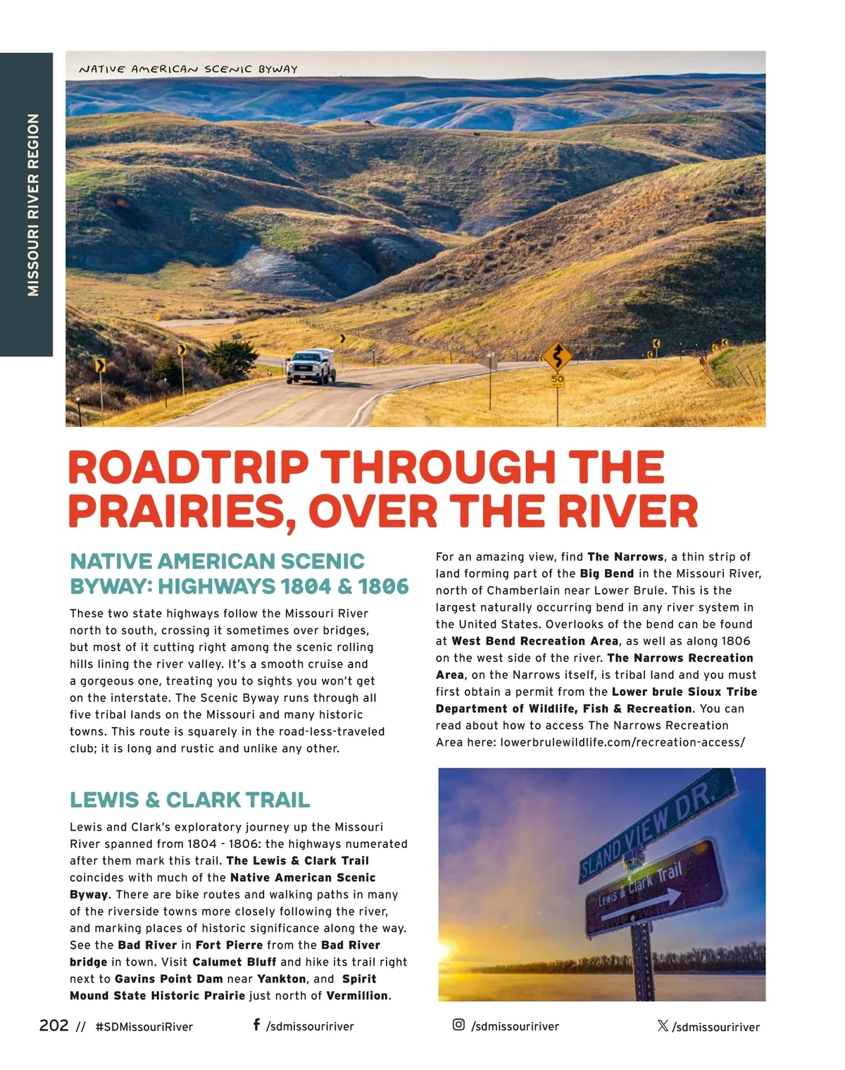
NATIVE AMERICAN SCENIC BYWAY MISSOURI RIVER REGION roadtrip through the prairies, over the river NATIVE AMERICAN SCENIC BYWAY: HIGHWAYS 1804 & 1806 These two state highways follow the Missouri River north to south, crossing it sometimes over bridges, but most of it cutting right among the scenic rolling hills lining the river valley. It’s a smooth cruise and a gorgeous one, treating you to sights you won’t get on the interstate. The Scenic Byway runs through all five tribal lands on the Missouri and many historic towns. This route is squarely in the road-less-traveled club; it is long and rustic and unlike any other. For an amazing view, find The Narrows , a thin strip of land forming part of the Big Bend in the Missouri River, north of Chamberlain near Lower Brule. This is the largest naturally occurring bend in any river system in the United States. Overlooks of the bend can be found at West Bend Recreation Area , as well as along 1806 on the west side of the river. The Narrows Recreation Area , on the Narrows itself, is tribal land and you must first obtain a permit from the Lower brule Sioux Tribe Department of Wildlife, Fish & Recreation . You can read about how to access The Narrows Recreation Area here: lowerbrulewildlife.com/recreation-access/ Lewis & Clark Trail Lewis and Clark’s exploratory journey up the Missouri River spanned from 1804 -1806: the highways numerated after them mark this trail. The Lewis & Clark Trail coincides with much of the Native American Scenic Byway . There are bike routes and walking paths in many of the riverside towns more closely following the river, and marking places of historic significance along the way. See the Bad River in Fort Pierre from the Bad River bridge in town. Visit Calumet Bluff and hike its trail right next to Gavins Point Dam near Yankton , and Spirit Mound State Historic Prairie just north of Vermillion . 202 // #SDMissouriRiver /sdmissouririver /sdmissouririver /sdmissouririver
South Dakota Vacation Guide 2024 South Dakota Vacation Guide: Page 202