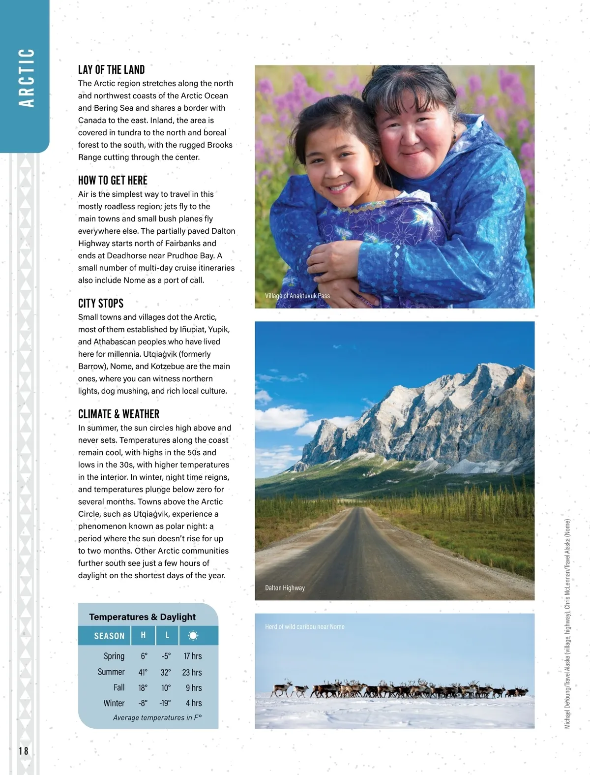
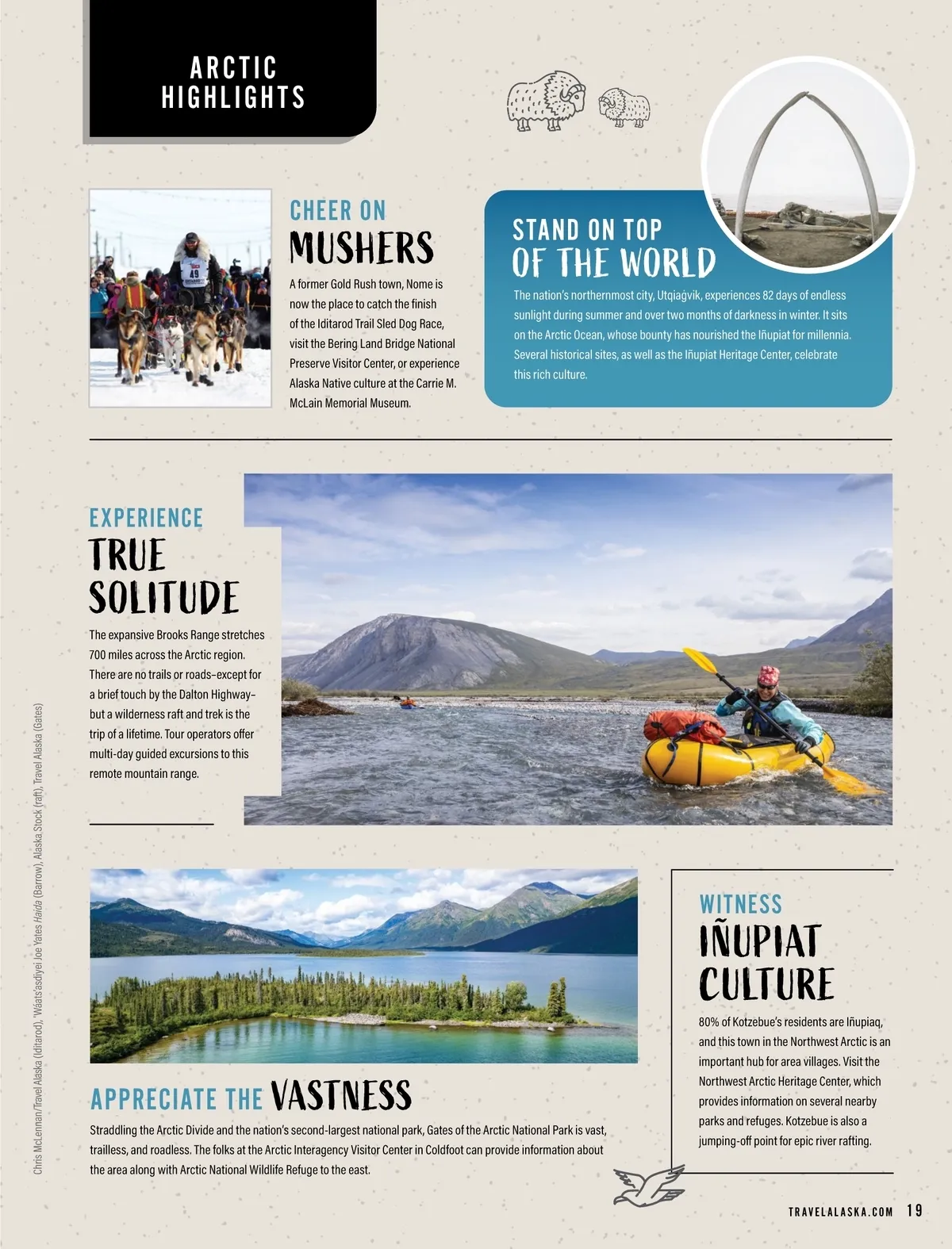
A R C T IC LAY OF THE LAND The Arctic region stretches along the north and northwest coasts of the Arctic Ocean and Bering Sea and shares a border with Canada to the east. Inland, the area is covered in tundra to the north and boreal forest to the south, with the rugged Brooks Range cutting through the center. HOW TO GET HERE Air is the simplest way to travel in this mostly roadless region; jets fly to the main towns and small bush planes fly everywhere else. The partially paved Dalton Highway starts north of Fairbanks and ends at Deadhorse near Prudhoe Bay. A small number of multi-day cruise itineraries also include Nome as a port of call. CITY STOPS Small towns and villages dot the Arctic, most of them established by Iñupiat, Yupik, and Athabascan peoples who have lived here for millennia. Utqiaġvik (formerly Barrow), Nome, and Kotzebue are the main ones, where you can witness northern lights, dog mushing, and rich local culture. Village of Anaktuvuk Pass CLIMATE & WEATHER In summer, the sun circles high above and never sets. Temperatures along the coast remain cool, with highs in the 50s and lows in the 30s, with higher temperatures in the interior. In winter, night time reigns, and temperatures plunge below zero for several months. Towns above the Arctic Circle, such as Utqiaġvik, experience a phenomenon known as polar night: a period where the sun doesn’t rise for up to two months. Other Arctic communities further south see just a few hours of daylight on the shortest days of the year. Dalton Highway Temperatures & Daylight SEASON Spring Summer Fall Winter H 6° 41° 18° -8° L -5° 32° 10° -19° 17 hrs 23 hrs 9 hrs 4 hrs Herd of wild caribou near Nome Average temperatures in F° 18 Michael DeYoung/Travel Alaska (village, highway), Chris McLennan/Travel Alaska (Nome)
Alaska Official State Vacation Planner 2024: Page 18