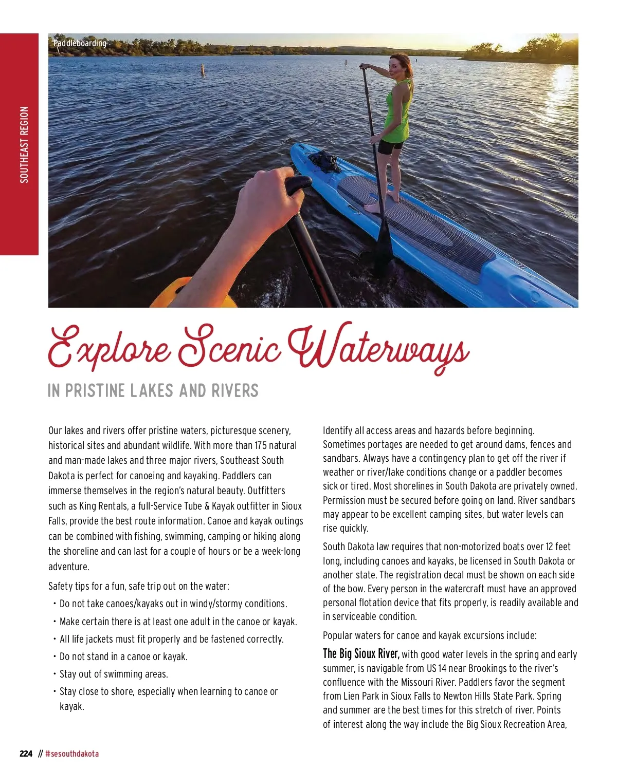
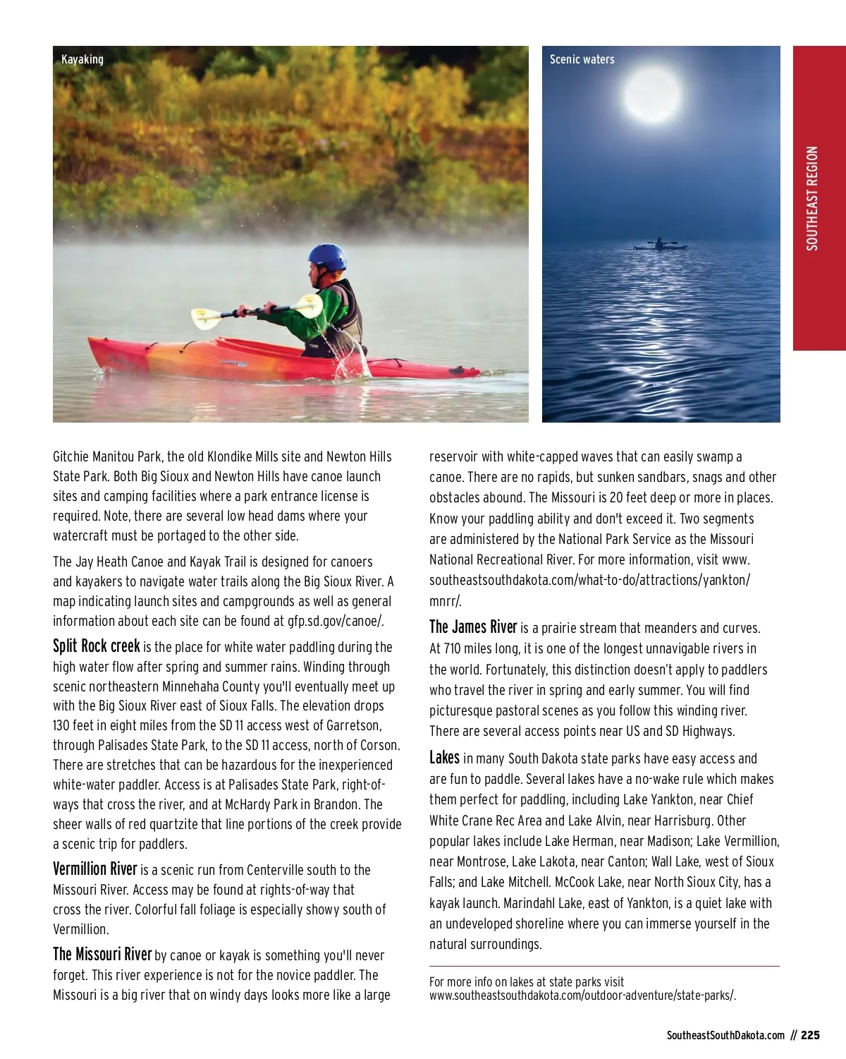
Kayaking Scenic waters Gitchie Manitou Park, the old Klondike Mills site and Newton Hills State Park. Both Big Sioux and Newton Hills have canoe launch sites and camping facilities where a park entrance license is required. Note, there are several low head dams where your watercraft must be portaged to the other side. The Jay Heath Canoe and Kayak Trail is designed for canoers and kayakers to navigate water trails along the Big Sioux River. A map indicating launch sites and campgrounds as well as general information about each site can be found at gfp.sd.gov/canoe/. reservoir with white-capped waves that can easily swamp a canoe. There are no rapids, but sunken sandbars, snags and other obstacles abound. The Missouri is 20 feet deep or more in places. Know your paddling ability and don't exceed it. Two segments are administered by the National Park Service as the Missouri National Recreational River. For more information, visit www. southeastsouthdakota.com/what-to-do/attractions/yankton/ mnrr/. Split Rock creek is the place for white water paddling during the high water flow after spring and summer rains. Winding through scenic northeastern Minnehaha County you'll eventually meet up with the Big Sioux River east of Sioux Falls. The elevation drops 130 feet in eight miles from the SD 11 access west of Garretson, through Palisades State Park, to the SD 11 access, north of Corson. There are stretches that can be hazardous for the inexperienced white-water paddler. Access is at Palisades State Park, right-of-ways that cross the river, and at McHardy Park in Brandon. The sheer walls of red quartzite that line portions of the creek provide a scenic trip for paddlers. The James River is a prairie stream that meanders and curves. At 710 miles long, it is one of the longest unnavigable rivers in the world. Fortunately, this distinction doesn’t apply to paddlers who travel the river in spring and early summer. You will find picturesque pastoral scenes as you follow this winding river. There are several access points near US and SD Highways. Vermillion River is a scenic run from Centerville south to the Missouri River. Access may be found at rights-of-way that cross the river. Colorful fall foliage is especially showy south of Vermillion. The Missouri River by canoe or kayak is something you'll never forget. This river experience is not for the novice paddler. The Missouri is a big river that on windy days looks more like a large Lakes in many South Dakota state parks have easy access and are fun to paddle. Several lakes have a no-wake rule which makes them perfect for paddling, including Lake Yankton, near Chief White Crane Rec Area and Lake Alvin, near Harrisburg. Other popular lakes include Lake Herman, near Madison; Lake Vermillion, near Montrose, Lake Lakota, near Canton; Wall Lake, west of Sioux Falls; and Lake Mitchell. McCook Lake, near North Sioux City, has a kayak launch. Marindahl Lake, east of Yankton, is a quiet lake with an undeveloped shoreline where you can immerse yourself in the natural surroundings. For more info on lakes at state parks visit www.southeastsouthdakota.com/outdoor-adventure/state-parks/. SoutheastSouthDakota.com // 225 SOUTHEAST REGION
South Dakota Vacation Guide South Dakota Vacation Guide 2022: Page 225