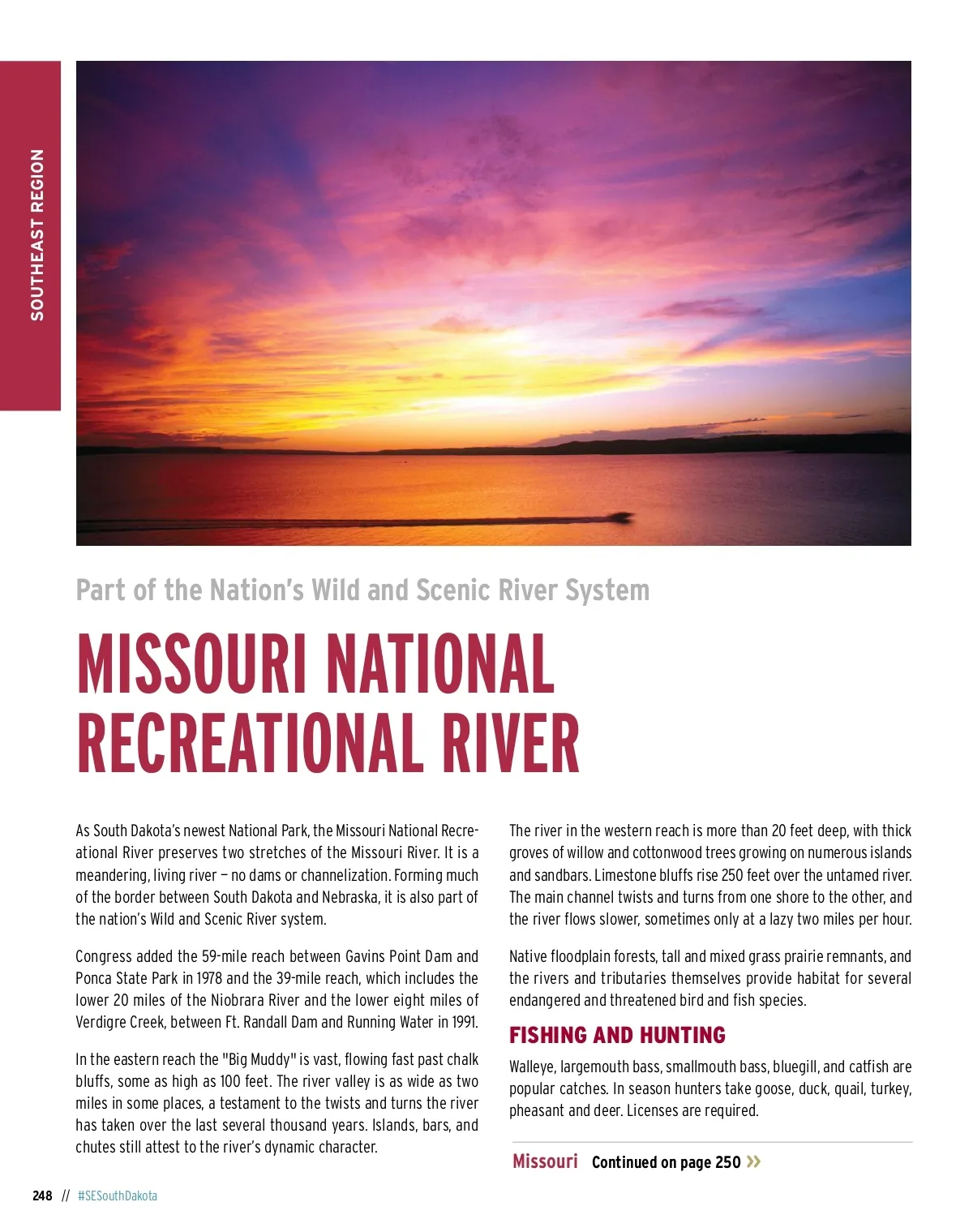
SOUTHEAST REGION Part of the Nation’s Wild and Scenic River System MISSOURI NATIONAL RECREATIONAL RIVER As South Dakota’s newest National Park, the Missouri National Recre-ational River preserves two stretches of the Missouri River. It is a meandering, living river — no dams or channelization. Forming much of the border between South Dakota and Nebraska, it is also part of the nation’s Wild and Scenic River system. Congress added the 59-mile reach between Gavins Point Dam and Ponca State Park in 1978 and the 39-mile reach, which includes the lower 20 miles of the Niobrara River and the lower eight miles of Verdigre Creek, between Ft. Randall Dam and Running Water in 1991. In the eastern reach the "Big Muddy" is vast, flowing fast past chalk bluffs, some as high as 100 feet. The river valley is as wide as two miles in some places, a testament to the twists and turns the river has taken over the last several thousand years. Islands, bars, and chutes still attest to the river’s dynamic character. 248 // #SESouthDakota The river in the western reach is more than 20 feet deep, with thick groves of willow and cottonwood trees growing on numerous islands and sandbars. Limestone bluffs rise 250 feet over the untamed river. The main channel twists and turns from one shore to the other, and the river flows slower, sometimes only at a lazy two miles per hour. Native floodplain forests, tall and mixed grass prairie remnants, and the rivers and tributaries themselves provide habitat for several endangered and threatened bird and fish species. FISHING AND HUNTING Walleye, largemouth bass, smallmouth bass, bluegill, and catfish are popular catches. In season hunters take goose, duck, quail, turkey, pheasant and deer. Licenses are required. Missouri Continued on page 250 »
South Dakota Vacation Guide South Dakota Vacation Guide South Dakota Vacation Guide 2020: Page 248