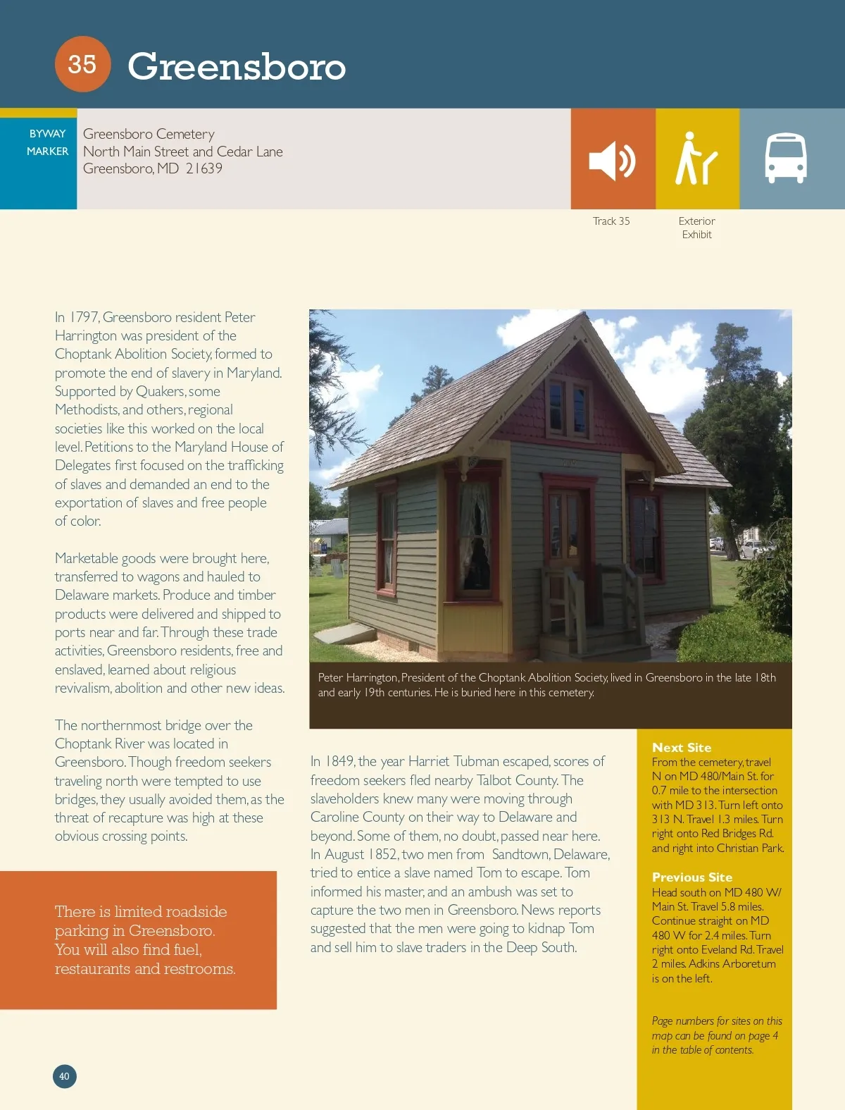
35 BYWAY MARKER Greensboro Greensboro Cemetery North Main Street and Cedar Lane Greensboro, MD 21639 Track 35 Exterior Exhibit In 1797, Greensboro resident Peter Harrington was president of the Choptank Abolition Society, formed to promote the end of slavery in Maryland. Supported by Quakers, some Methodists, and others, regional societies like this worked on the local level. Petitions to the Maryland House of Delegates first focused on the trafficking of slaves and demanded an end to the exportation of slaves and free people of color. Marketable goods were brought here, transferred to wagons and hauled to Delaware markets. Produce and timber products were delivered and shipped to ports near and far. Through these trade activities, Greensboro residents, free and enslaved, learned about religious revivalism, abolition and other new ideas. The northernmost bridge over the Choptank River was located in Greensboro. Though freedom seekers traveling north were tempted to use bridges, they usually avoided them, as the threat of recapture was high at these obvious crossing points. Peter Harrington, President of the Choptank Abolition Society, lived in Greensboro in the late 18th and early 19th centuries. He is buried here in this cemetery. There is limited roadside parking in Greensboro. You will also find fuel, restaurants and restrooms. In 1849, the year Harriet Tubman escaped, scores of freedom seekers fled nearby Talbot County. The slaveholders knew many were moving through Caroline County on their way to Delaware and beyond. Some of them, no doubt, passed near here. In August 1852, two men from Sandtown, Delaware, tried to entice a slave named Tom to escape. Tom informed his master, and an ambush was set to capture the two men in Greensboro. News reports suggested that the men were going to kidnap Tom and sell him to slave traders in the Deep South. Next Site From the cemetery, travel N on MD 480/Main St. for 0.7 mile to the intersection with MD 313. Turn left onto 313 N. Travel 1.3 miles. Turn right onto Red Bridges Rd. and right into Christian Park. Previous Site Head south on MD 480 W/ Main St. Travel 5.8 miles. Continue straight on MD 480 W for 2.4 miles. Turn right onto Eveland Rd. Travel 2 miles. Adkins Arboretum is on the left. Page numbers for sites on this map can be found on page 4 in the table of contents. 40
Harriet Tubman Guide 2019 Harriet Tubman Guide: Page 40