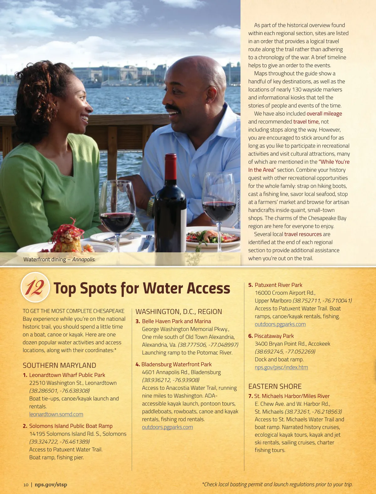
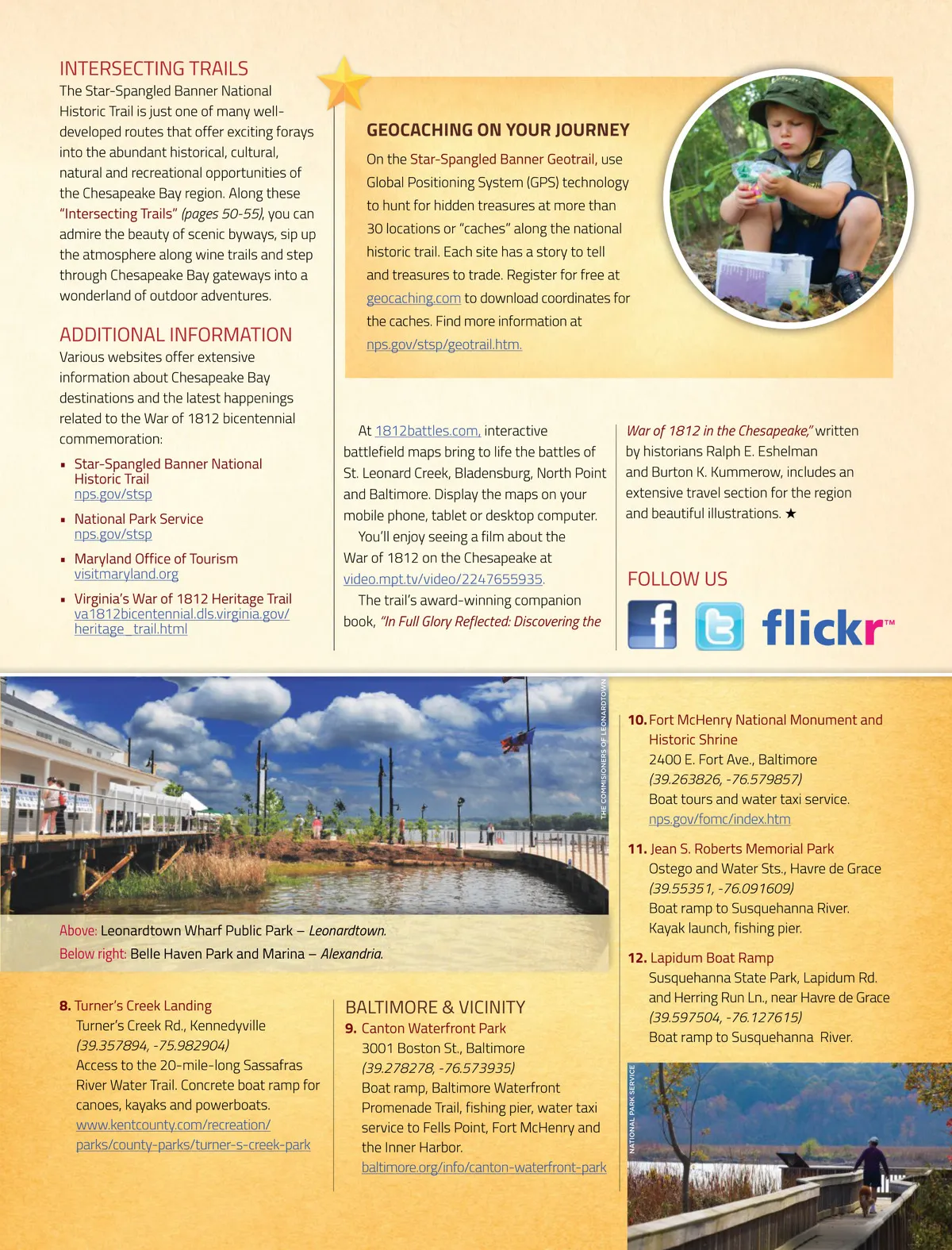
Waterfront dining – Annapolis. As part of the historical overview found within each regional section, sites are listed in an order that provides a logical travel route along the trail rather than adhering to a chronology of the war. A brief timeline helps to give an order to the events. Maps throughout the guide show a handful of key destinations, as well as the locations of nearly 130 wayside markers and informational kiosks that tell the stories of people and events of the time. We have also included overall mileage and recommended travel time, not including stops along the way. However, you are encouraged to stick around for as long as you like to participate in recreational activities and visit cultural attractions, many of which are mentioned in the “While You’re In the Area” section. Combine your history quest with other recreational opportunities for the whole family: strap on hiking boots, cast a fishing line, savor local seafood, stop at a farmers’ market and browse for artisan handicrafts inside quaint, small-town shops. The charms of the Chesapeake Bay region are here for everyone to enjoy. Several local travel resources are identified at the end of each regional section to provide additional assistance when you’re out on the trail. Top Spots for Water Access TO GET THE MOST COMPLETE CHESAPEAKE Bay experience while you’re on the national historic trail, you should spend a little time on a boat, canoe or kayak. Here are one dozen popular water activities and access locations, along with their coordinates:* WWW.VISITANNAPOLIS.ORG WASHINGTON, D.C., REGION 3. Belle Haven Park and Marina George Washington Memorial Pkwy., One mile south of Old Town Alexandria, Alexandria, Va. (38.777506, -77.048997) Launching ramp to the Potomac River. 4. Bladensburg Waterfront Park 4601 Annapolis Rd., Bladensburg (38.936212, -76.93908) Access to Anacostia Water Trail, running nine miles to Washington. ADA-accessible kayak launch, pontoon tours, paddleboats, rowboats, canoe and kayak rentals, fishing rod rentals. outdoors.pgparks.com 5. Patuxent River Park 16000 Croom Airport Rd., Upper Marlboro (38.752711, -76.710041) Access to Patuxent Water Trail. Boat ramps, canoe/kayak rentals, fishing. outdoors.pgparks.com 6. Piscataway Park 3400 Bryan Point Rd., Accokeek (38.692745, -77.052269) Dock and boat ramp. nps.gov/pisc/index.htm SOUTHERN MARYLAND 1. Leonardtown Wharf Public Park 22510 Washington St., Leonardtown (38.286501, -76.638308) Boat tie-ups, canoe/kayak launch and rentals. leonardtown.somd.com 2. Solomons Island Public Boat Ramp 14195 Solomons Island Rd. S., Solomons (39.324722, -76.461389) Access to Patuxent Water Trail. Boat ramp, fishing pier. EASTERN SHORE 7. St. Michaels Harbor/Miles River E. Chew Ave. and W. Harbor Rd., St. Michaels (38.73261, -76.218563) Access to St. Michaels Water Trail and boat ramp. Narrated history cruises, ecological kayak tours, kayak and jet ski rentals, sailing cruises, charter fishing tours. 10 | nps.gov/stsp *Check local boating permit and launch regulations prior to your trip.
Star-Spangled Banner Star-Spangled Banner 2018: Page 10