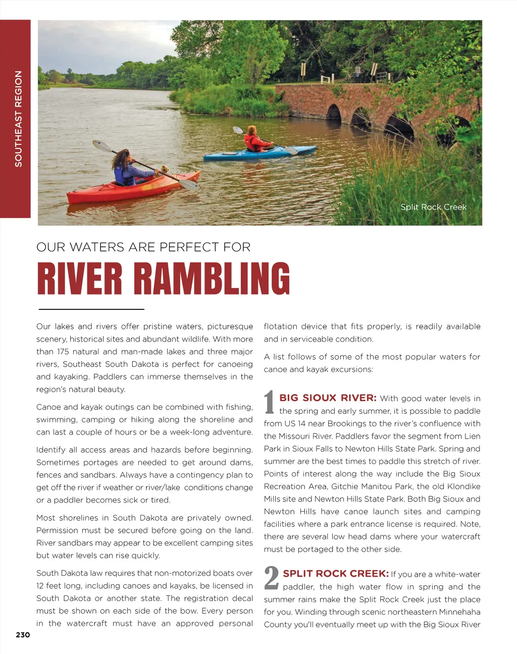
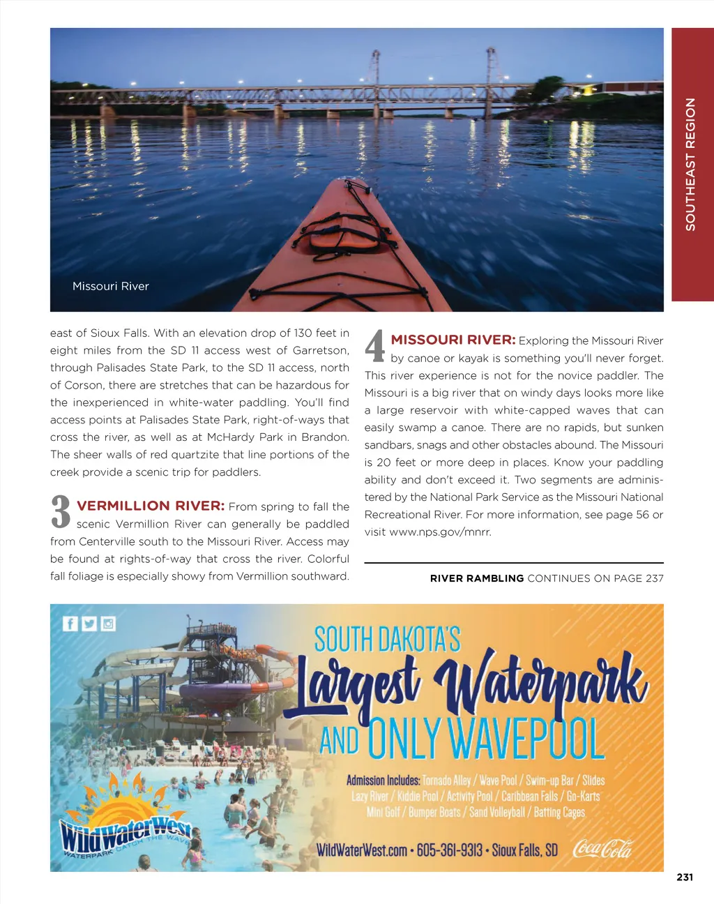
Missouri River east of Sioux Falls. With an elevation drop of 130 feet in eight miles from the SD 11 access west of Garretson, through Palisades State Park, to the SD 11 access, north of Corson, there are stretches that can be hazardous for the inexperienced in white-water paddling. You’ll find access points at Palisades State Park, right-of-ways that cross the river, as well as at McHardy Park in Brandon. 4 MISSOURI RIVER: Exploring the Missouri River by canoe or kayak is something you'll never forget. This river experience is not for the novice paddler. The Missouri is a big river that on windy days looks more like a large reservoir with white-capped waves that can easily swamp a canoe. There are no rapids, but sunken sandbars, snags and other obstacles abound. The Missouri is 20 feet or more deep in places. Know your paddling ability and don't exceed it. Two segments are adminis-tered by the National Park Service as the Missouri National Recreational River. For more information, see page 56 or visit www.nps.gov/mnrr. from Centerville south to the Missouri River. Access may be found at rights-of-way that cross the river. Colorful fall foliage is especially showy from Vermillion southward. RIVER RAMBLING CONTINUES ON PAGE 237 3 The sheer walls of red quartzite that line portions of the creek provide a scenic trip for paddlers. VERMILLION RIVER: From spring to fall the scenic Vermillion River can generally be paddled 231 SOUTHEAST REGION
South Dakota Vacation Guide SD Vacation Guide 2017: Page 231